Clear Lake water quality in 2026 deserves attention from boaters, anglers, families and travelers planning a shoreline weekend. California’s large natural freshwater lake offers beautiful views and a long recreation tradition, but harmful algal blooms and cyanotoxins require decisions based on current monitoring rather than the color of water alone. The U.S. Geological Survey published an updated public resource in August 2026 examining nutrient and sediment sources in the watershed, adding useful context to the local conversation.
This guide explains what the new research can tell visitors, how to look for active advisories and how to plan a lake day without assuming every cove has identical conditions. It is not a real-time statement that any beach is safe or unsafe today. Always consult current tribal, county and state monitoring before swimming, launching or allowing animals near the shore.
Why Clear Lake water quality is a timely topic
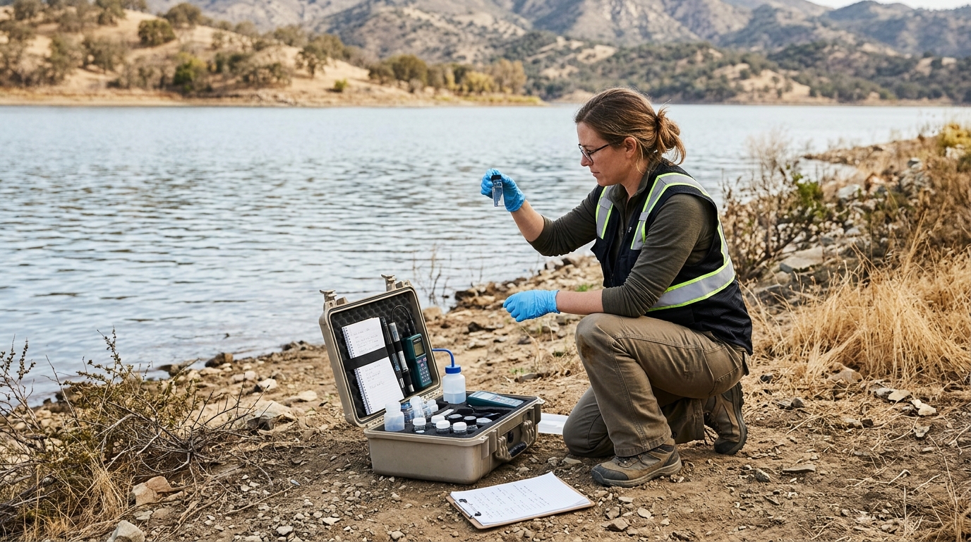
The USGS has highlighted long-standing concerns involving harmful algal blooms, nutrients, mercury and suspended sediment in the Clear Lake watershed. Its 2026 monitoring and modeling resource helps readers understand how runoff and watershed conditions connect to the lake. That is valuable context, but a long-term research tool does not replace a current site-specific toxin sample or health advisory. The distinction protects readers from false reassurance.
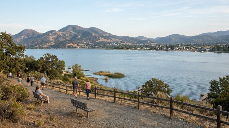
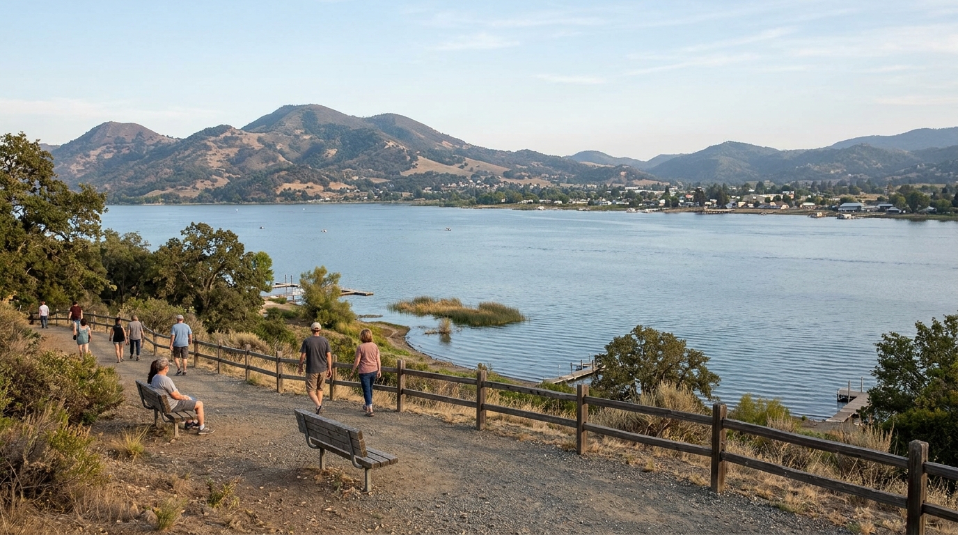
Clear Lake’s shoreline is extensive, and different locations can show different water conditions on the same day. A photo from Lakeport cannot demonstrate conditions in Clearlake or at another launch point. Before selecting a water activity, identify the exact destination and the most recent monitoring result for that site. Consider the reporting date, not only the colorful map symbol.
Understand cyanobacteria and cyanotoxins
Cyanobacteria occur naturally in freshwater, but some blooms may produce toxins that can affect humans and animals. A bloom may appear as scum, unusual discoloration or floating material, yet not every bloom is visible. Equally important, a visible bloom does not establish whether toxins are present at a particular concentration. Laboratory monitoring and official public-health guidance are needed for informed decisions.
Avoid tasting or touching suspicious water. Keep children and pets away from scum or discolored shorelines. Dogs can be exposed when they drink lake water or lick wet fur, so do not rely on a pet’s willingness to enter the water as a safety indicator. Seek medical or veterinary guidance promptly after concerning exposure.
For additional context, see our related guide: wildfire-ready Lake County travel guide.
Read the date behind every water-quality map
Monitoring results describe a sample collected at a particular place and time. A low result from an earlier sampling day does not guarantee the same conditions after wind, heat, storms or other changes. The Big Valley Band of Pomo Indians’ Clear Lake cyanotoxin monitoring program publishes information that helps residents and visitors interpret site-level patterns. Check the map and its notes before deciding on contact recreation.
Compare the site name to your planned beach or boat ramp. Note whether a notice addresses swimming, fishing, paddling or pets. If the information is missing, outdated or unclear, contact the responsible local authority before entering the water. Choosing a non-contact lakeside activity is an entirely reasonable alternative.
What the 2026 USGS research adds
The 2026 USGS resource discusses monitoring and modeling of nutrient and sediment sources to Clear Lake, drawing on work covering 2021 through 2025. This is useful for understanding why land use, watershed runoff and historical conditions matter to the lake’s health. It does not mean a new pollution incident occurred in August, nor does it establish that a particular swimming area is safe on the day a traveler arrives.
Use the research as background when writing about environmental conditions or comparing lake-management approaches. For immediate recreational decisions, prioritize fresh advisory information. Separating science about causes from data about today’s exposure is an important part of responsible public communication.
Plan an enjoyable day even when contact recreation is limited

A Lake County outing need not depend on swimming. Choose viewpoints, town walks, food stops, scenic drives or park paths where access is allowed. Lakeport and other shoreline communities offer opportunities to enjoy the setting from land. A family can spend time near the water while following any restriction on entering it. Bring a picnic, binoculars and a flexible plan instead of committing the whole day to one launch.
If your group wants boating or fishing, check current regulations, weather, ramp status and relevant water-quality advisories. Consider wind forecasts, personal flotation devices and local navigation rules. The lake’s size can make conditions less predictable than they look from shore. A quiet morning does not remove the need for safety equipment.
Keep pets, children and vulnerable guests in mind
Younger children may splash or put their hands in water without thinking about posted warnings. Dogs may drink from the shoreline and then groom themselves. Establish boundaries in advance and read signs at each access point. Bring fresh drinking water for people and pets so nobody depends on untreated lake water. Wash exposed skin as advised by health authorities after any questionable contact.
If someone develops symptoms after potential exposure, describe the exact location, date and activity to a clinician or veterinarian. The details help professionals assess possible causes without assuming an algal bloom is responsible for every illness. Save any official advisories or photographs taken safely from shore. Do not approach a suspected bloom simply to get a better image.
Separate environmental trends from immediate conditions
Lake-water issues are often discussed in broad terms, but quality can change by season, location and sampling method. A scientific assessment explaining nutrients and sediment is not interchangeable with a local health department advisory. Both have value when used for the right question. A responsible travel guide tells readers where to find each source and avoids categorical claims that the entire lake is either safe or dangerous.
As a visitor, ask three questions: What location was tested? When was it tested? What activity does the resulting guidance address? If you cannot answer them, choose an activity that avoids direct water contact until you find reliable information.
For authoritative details and any subsequent updates, consult 2026 USGS Clear Lake water-quality research. Official notices take precedence over a general guide.
A better checklist for weekend planning
One week before travel, review the general seasonal outlook and decide which towns or parks interest you. The day before, inspect the newest monitoring map, local advisories and weather forecast. On arrival, read signs at your chosen recreation area and look for visible changes in water conditions. Do not override an official warning because a social media post shows swimmers nearby.
Pack drinking water, sun protection, life jackets for appropriate boating activities and shoes suited to shoreline paths. Keep the itinerary flexible enough to substitute a winery, scenic overlook or local restaurant. When a condition cannot be verified, being willing to change activities is the strongest safety measure.
How to share water-quality information accurately
If you publish photos or advice about Clear Lake, include the date and exact location whenever possible. Avoid claiming a single photograph demonstrates toxic or toxin-free water. Link to the actual monitoring source and tell readers when you last checked it. Describe USGS research as watershed science, not as a real-time recreational clearance. Clarity benefits local businesses as well as visitors.
If you observe a suspicious bloom, follow the local reporting channel rather than collecting samples or touching the material. Public-health and tribal environmental programs are better equipped to identify and respond to changing conditions. Responsible reporting supports the long-term value of the lake without creating unnecessary alarm.
Clear Lake remains a compelling Northern California destination, but a good visit begins with evidence and options. The August 2026 USGS work helps explain the watershed story, while current local monitoring helps determine whether a particular water activity is appropriate. Those are complementary tools, not competing answers.
Before your next Lake County trip, check the latest advisories, select activities suited to the day’s conditions and keep an alternative shoreline plan ready. This guide is informational, and monitoring information can change after publication. For health questions or exposure concerns, consult qualified professionals and the responsible local agencies.