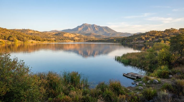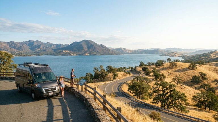
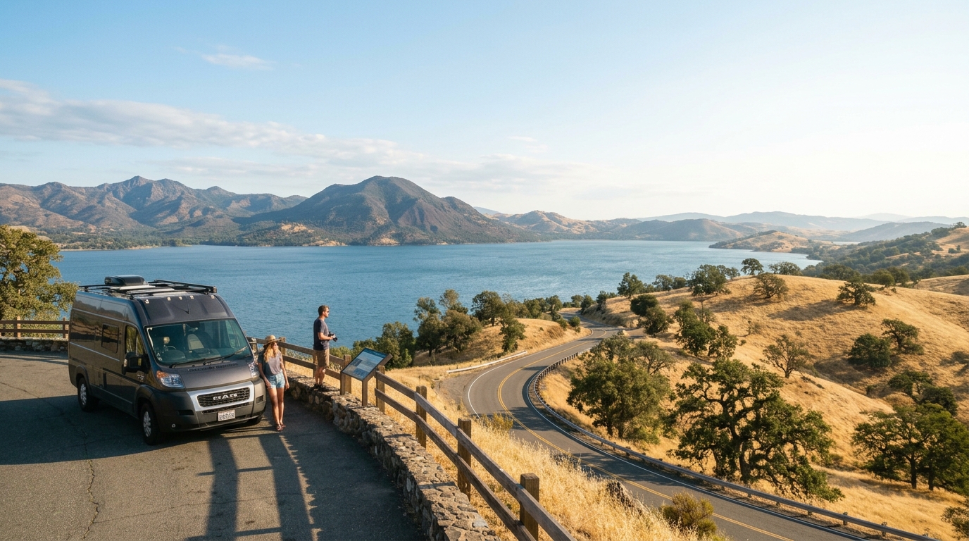
Lake County’s summer and early-autumn landscapes are part of its appeal: golden grasslands, oak-covered ridges, volcanic slopes, vineyard roads, and long views across Clear Lake. Those same dry conditions can also support fast-moving wildfire. Visitors do not need to avoid the county automatically during fire season, but they should arrive with a different style of itinerary—one based on current information, flexible routes, and a willingness to change plans quickly.
For 2026, Lake County’s annual burn ban is scheduled from May 1 through November 1 and applies countywide to open green-waste burning. Separate restrictions may apply to campfires, charcoal, smoking, generators, vehicles, and equipment on state, federal, county, tribal, or private land. A campsite that allowed a fire during an earlier visit may prohibit it now, so never treat last year’s rules as current permission.
This guide is for travelers, hikers, boaters, campers, wine-country visitors, and guests staying in rural lodging. It explains how to monitor wildfire, smoke, evacuation zones, and road access without turning a vacation into constant alarm-checking. Pair it with our 48-hour Lake County itinerary, then replace or remove stops whenever conditions make the original route unwise.
Before You Travel: Check Fire, Smoke, and Road Conditions
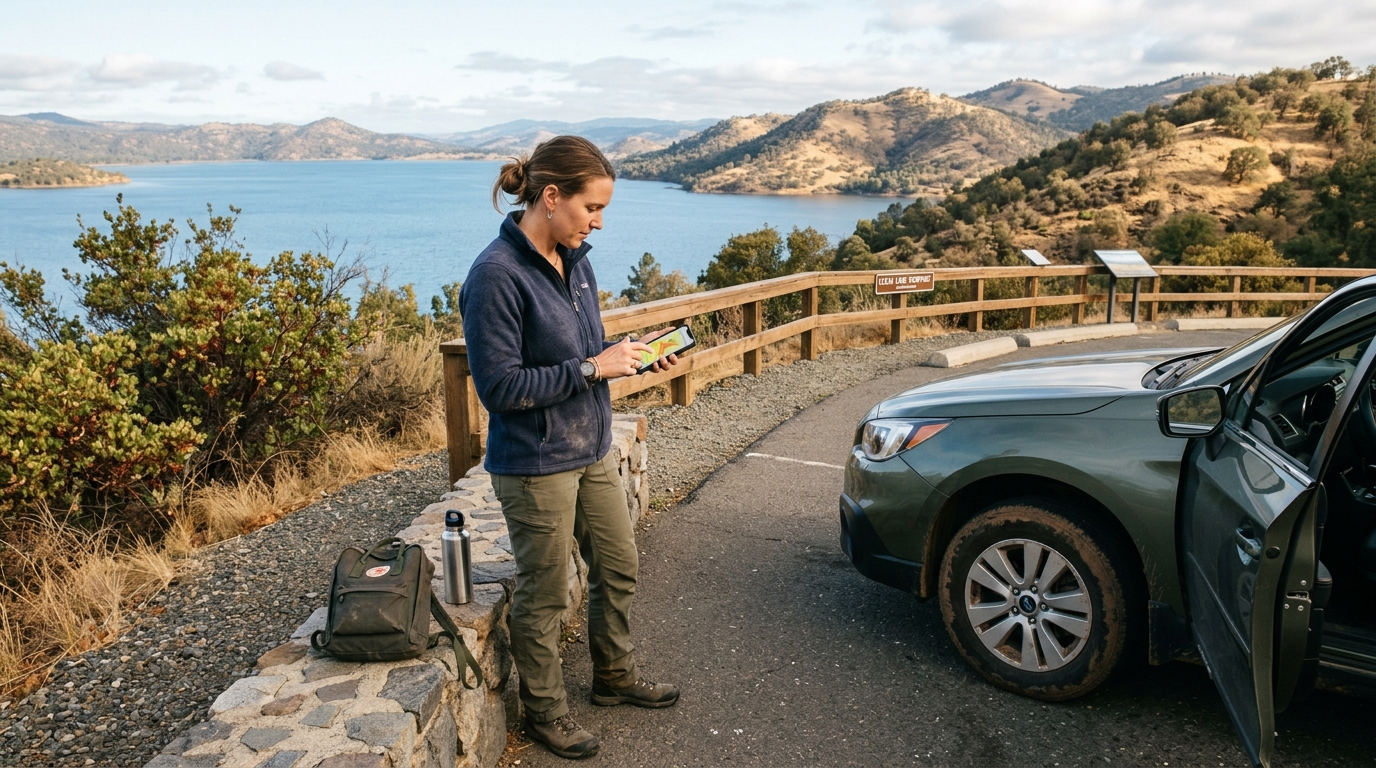
Wildfire planning begins before you enter Lake County. A weather app alone is not enough because it may show temperature and wind without clearly displaying an active incident, evacuation zone, road closure, or localized smoke impact. Build a short list of official sources and check them at three points: when you book, the evening before departure, and immediately before driving.
Do not depend on one social-media account. Posts may lack context, remain visible after conditions change, or refer to an area far from your destination. Official incident pages, county emergency information, Caltrans tools, and air-quality maps should guide your decisions.
Build a current-condition checklist
Start with the exact places on your route. “Lake County” is too broad for a useful check. Write down your lodging community, planned park or trailhead, tasting area, launch ramp, and the highways you expect to use. A fire on the opposite side of the county may not affect your trip, while a smaller incident near the only practical access road could require a complete change.
Check CAL FIRE’s incident information for active fires, then review Lake County’s response page and evacuation-zone map. Search the address of your lodging in Genasys Protect so you know its zone before an emergency. Visitors can also enroll in LakeCoAlerts; do not assume an accommodation host will always be available to relay instructions.
Check official fire and evacuation sources
Use the Lake County Response Information page for current emergency links and zone status. Lake County uses Genasys Protect to display evacuation orders, evacuation warnings, shelter-in-place directions, and related road information. Save your zone number as a phone note or screenshot, but refresh the live map during an incident because a screenshot cannot update.
Understand the language. An evacuation warning means prepare to leave and consider departing early, especially if anyone in the group has mobility needs, medical equipment, children, animals, or limited transportation. An evacuation order means leave immediately by the directed route. Do not drive toward smoke to look at a fire, stop on narrow roads for photographs, or wait for someone to knock on the door.
Even when no incident appears nearby, check the National Weather Service forecast for heat, wind, and red-flag conditions. Restrictions can tighten without a nearby wildfire, so contact the land manager when rules are unclear.
Treat smoke as a health condition, not a photo filter
Smoke can travel far beyond a fire perimeter and can settle differently around Clear Lake’s basins, valleys, and ridges. A dramatic sunset does not reveal whether the air is healthy for hiking or strenuous outdoor activity. Use the AirNow Fire and Smoke Map to review current fine-particle conditions, monitors, smoke plumes, and recent trends.
People with asthma, heart or lung disease, older adults, children, pregnant travelers, and anyone sensitive to smoke may need a more conservative plan. Follow public-health and personal medical guidance. When air quality worsens, reduce exertion, move activities indoors, and use properly fitted respiratory protection when recommended.
Build alternatives that do not depend on a clear summit view or a full day outside. A museum, local-history stop, relaxed meal, gallery, or shortened town visit may be more appropriate than the route in our Mount Konocti hiking guide. If smoke remains heavy or conditions are deteriorating, postpone rather than forcing value from a reservation.
Pack and route for sudden changes
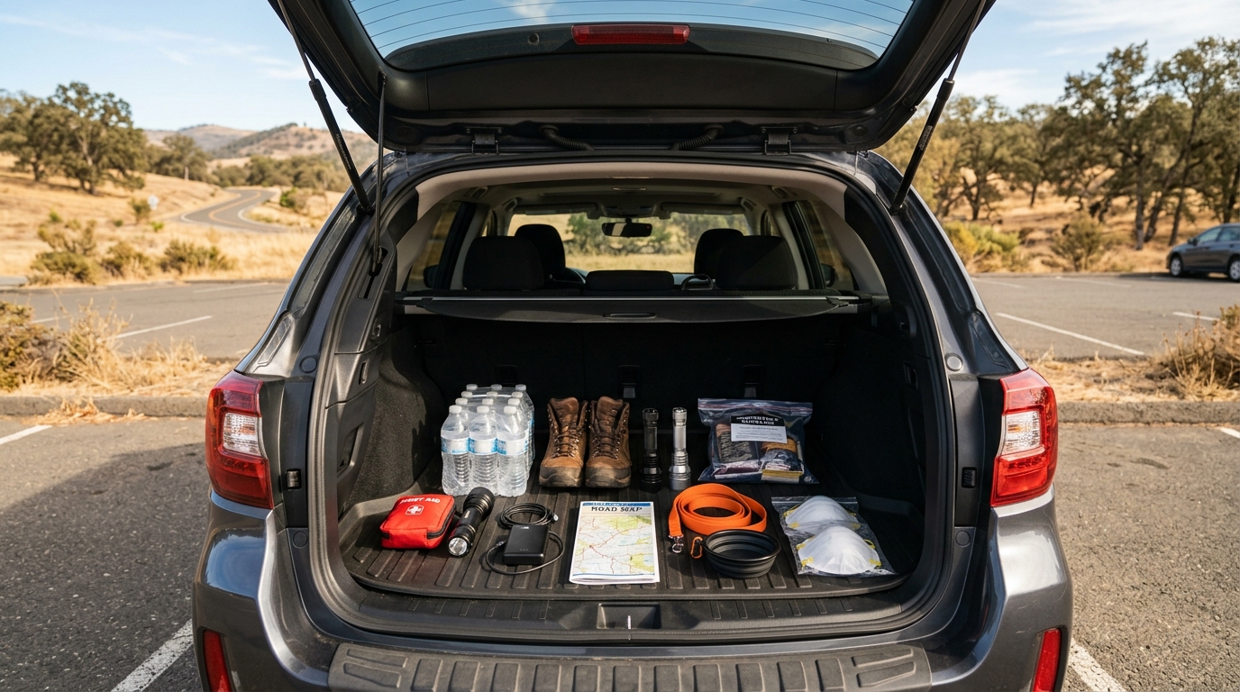
Lake County’s winding roads and rural distances make fuel, communication, and timing important. Keep the vehicle above half a tank, download offline maps, carry charging cables and a power bank, and place paper directions in the glove compartment. Mobile service may be inconsistent, and a navigation app can continue suggesting a road after local officials have closed it.
Pack water, shelf-stable food, medications, sturdy shoes, recommended respirators, a flashlight, basic first aid, and a small amount of cash. Keep identification, lodging details, and emergency contacts together. Bring carriers or leashes, food, water, and medications for pets.
Create two ways out and keep fuel high
Identify at least two reasonable departure directions from your lodging, but never assume both will remain open. Lake County is commonly reached by state highways such as 20, 29, 53, and 175, and closures can affect a much larger route than the immediate fire area. Check the Caltrans current highway conditions service and follow law-enforcement directions instead of improvising on unpaved roads.
Do not use private ranch roads, gated tracks, or narrow back roads as shortcuts. They may dead-end, place you closer to fire, block emergency vehicles, or cross private land. Leave early when warned and expect delays.
During Your Visit: Prevent Ignitions and Respond Early
Visitors are part of the local fire-safety system. One dragging trailer chain, parked vehicle over dry grass, illegal firework, unattended grill, or poorly extinguished campfire can create consequences far beyond a single property. Follow the strictest rule that applies to the location, even when another nearby park or campground has different regulations.
Lake County’s annual ban concerns open green-waste burning, while recreation rules come from the agency or owner managing the land. Check before using any flame. If campfires are permitted, use approved facilities, supervise continuously, keep water nearby, and extinguish everything until cold.
Camp, drive, hike, and stay responsibly
Never park or idle over tall dry grass. Hot exhaust components can ignite vegetation. Secure trailer chains so they cannot drag and spark on pavement. Avoid outdoor power equipment during the hottest, driest, or windiest part of the day, and follow restrictions on generators, smoking, target shooting, and motorized access.
At vacation rentals, locate exits, gates, flashlights, and emergency instructions after arrival. Ask the host for the address, evacuation zone, and normal access roads. Keep shoes, keys, phones, medications, and pet supplies where they can be collected quickly.
On trails, carry enough water to return without assistance and turn around early when smoke, heat, wind, or nearby fire activity changes. Do not enter closed areas. Closures protect visitors and leave roads and trails available to firefighters. Browse our Parks and Trails guides for alternatives, but verify every destination with its current land manager.
Know what to do when a warning becomes an order
When officials issue an evacuation warning for your zone, pack the vehicle, place animals in carriers or on leashes, move anyone who needs extra time, and monitor official updates. Consider leaving before an order when safe to do so. Early departure reduces congestion and allows emergency crews to work.
When an evacuation order is issued, go immediately. Take the directed route, use headlights in poor visibility, close vehicle windows, and use recirculated air in smoke. Do not return for luggage or wait to see flames. Follow officials to the identified safe location.
After the immediate danger passes, wait for an official repopulation notice before returning. Roads may remain closed because of damaged power lines, falling trees, active equipment, hot spots, or unstable slopes. Respect checkpoints and do not enter burned areas to sightsee.
A wildfire-ready trip is not a fearful trip. It is a flexible one. Check conditions, know the zone, keep fuel in the vehicle, prevent sparks, and respond to warnings before choices become limited. Lake County’s communities continue working through wildfire risk year after year; visitors show respect by planning carefully and following local instructions.
For seasonal updates and alternative itineraries, browse our Events and Seasons section and the latest Lake County field notes. Review official sources again on the morning of every major outdoor activity, because a responsible plan is only as current as its last update.